Every coastal design rests on survey data. We run bathymetric, topographic, hydrographic and geotechnical survey with our own instruments, and turn the results into models decisions can be made from.
Capabilities
Bathymetric Surveys
Detailed underwater topography supports navigation, construction planning and design. We survey using multibeam and single-beam echo sounders.
Topographic Surveys
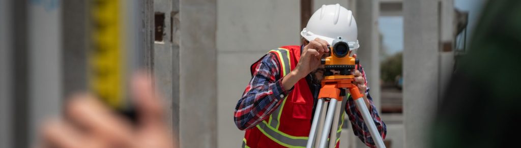
We map land surface elevation and features for construction planning, land development and environmental management.
Hydrographic Surveys
We examine water bodies including depth and submerged obstructions, supporting safe navigation and marine construction.
Geotechnical Investigations
Soil and rock properties determine what a coastal structure can be founded on. We investigate ground conditions using rotary and percussion drilling.
Numerical Modelling
We simulate physical processes in coastal and marine environments, giving a basis for design decisions before construction starts.
Sediment Transport Assessment
Understanding how sediment moves is central to erosion control. Our assessments guide both coastal development and defence design.
Shoreline Change Analysis
We monitor and analyse how shorelines are changing over time, providing the evidence base for coastal management decisions.
GIS and Remote Sensing
We collect, visualise and analyse spatial data, including drone survey, to support planning and monitoring.
 Coastal engineering, marine infrastructure and project management in the Maldives and UAE